
Storm Darragh targets South West
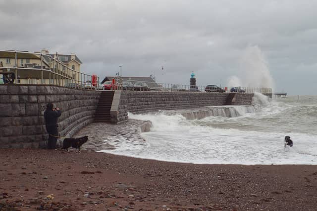

Severe winds and heavy rain expected as red warnings issued for the region
The South West is bracing for the arrival of Storm Darragh, with the Met Office issuing a red wind warning for the region starting at 1am on Saturday.
The storm is expected to bring severe winds and heavy rain, significantly impacting coastal areas and the Bristol Channel, with gusts potentially reaching up to 90mph.
The South West is set to experience some of the storm's most intense effects. The combination of strong winds and large waves poses a threat to coastal communities, with the Bristol Channel likely to see funnelling winds amplifying the impact.
While other parts of the UK are under yellow and amber warnings, the South West remains at the centre of the most severe weather conditions.
Jason Kelly, Met Office Chief Forecaster, emphasized the seriousness of the storm: “The worst impacts from Storm Darragh will be felt during the early hours of Saturday and throughout the day. People should remain cautious and prepared for severe weather, particularly in the red warning area.”
National Highways has advised South West residents to prepare for challenging road conditions. Duty Manager Dale Hipkiss urged drivers to adjust their plans, check their vehicles, and drive with care, particularly on exposed routes where winds are strongest.
As Storm Darragh clears, colder northerly winds are expected to sweep through the region, bringing a risk of overnight frost and wintry showers over higher ground.
By Monday, high-pressure systems will settle over the UK, leading to calmer but colder conditions with the potential for fog and frost at night.
Residents are encouraged to stay up to date with the latest warnings and forecasts.
With preparations underway, the South West is urged to stay vigilant as Storm Darragh makes its mark.